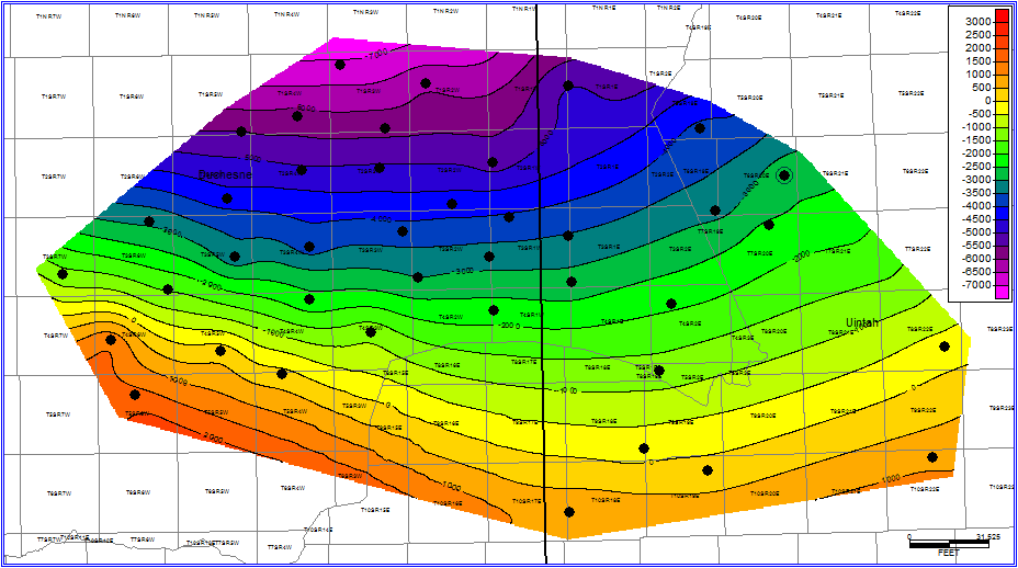
UINTA Basin Study
Analysis of 40 wells
Uinta Basin Study
Add Your Heading Text Here

The study wells represent a portion of our experience in this area. View our Interactive Map to see just how many wells we have analyzed.
NuTech’s Unita Basin study includes 40 evaluated well logs and is NuTech’s twenty-first North American study. The Eocene age Green River and Wasatch Formations of the Uinta Basin are primarily comprised of hydrocarbon bearing sand & shale sequences. The study identifies the formations from the Green River through the Wasatch, including the Green River Middle and Lower, Douglas Creek, Black Shale, Castel Peak, Castle Peak Lower, and Uteland Butte. The Study covers an area east to west within central Duchesne and Uintah Counties. Each study well has petrophysical and geomechanical rock properties analysis utilizing NuTech’s calibrated models. Cross sections and attribute maps are available by request.
purchase the full study or request your own
deliverables
Reservoir potential evaluation
NULOOK® Shale Analysis
- 40 wells
NUSTIM® Geomechanical Analysis
- 40 wells
NUVIEW® 2D Attribute Mapping
- Stratigraphic Cross Sections

